Robot GR
The robot provides geophysical inspection using a georadar (GR) and electrical resistivity methods to a depth of 120 meters and more. The georadar is a geophysical method that uses radar pulses to image the subsurface, uses electromagnetic radiation in the radio spectrum and detects the reflected signals from subsurface structures.
The robot can be used in different environments the natural resource, such as: concrete, sand, soil, ice, fresh water, pavements and structures. It can detect objects, changes in material, and voids and cracks. GR uses high-frequency radio waves and transmits into the ground with different dielectric constants. Optimum depth penetration is achieved in ice where the depth of penetration can achieve several hundred meters. Good penetration is also achieved in dry sandy soils or massive dry materials such as granite, limestone, and concrete where the depth of penetration could be up to 80 m. The maximum depth of 140 meters is limited to research, under good ground conditions.
The robot GR consists of main blocks:
- Unit antenna
- Transmitter and Receiver
- Control unit
- Processing unit for a visualization and interpretation of a received data.


The robot GR has many applications in a number of fields:
1. Geology - for the construction of geological cross-sections, determining the boundaries of layers, the groundwater level, areas of excessive water content, mapping subsurface relief of the bedrock and paleo channels. Determine the boundaries of minerals in your pit, sedimentary layers thickness, the study of fracturing and water content of rocks, identifying voids.
2. Utility location - there it is possible to indicating position and depth of the plastic conduits, gas pipes, sewage, locates leaks as well as illegal taps in the pipes.
3. Buildings - to determine the quality and condition of concrete structures (bridges, buildings, concrete slabs), dams inspection. For inspect the internal structure and deformation of buildings and engineering structures, foundations, bases, piles. To locate reinforcing steel, within the concrete prior to core drilling.
4. Road evaluation - to identify soil type, to estimate the thickness of overburden and to evaluate the compressibility and frost susceptibility of subgrade soil. In road structure surveys, measure layer thickness, detect subsurface defects and to evaluate base course quality.
5. Environmental - for evaluation of a soil contamination, leak detection from the oil and water pipelines, burial places of environmentally hazardous waste, dumps.
6. Archaeology - for search archaeological sites, determine the boundaries of their distribution, survey the historical and cultural heritage.
7. Military and Security - for tunnel location, intrusion detection, unexploded ordnance, graves location. Detection of the tunnels in hidden zones of a safety, can define depth and a direction of the tunnel deeply under the ground and diameter:
Detection of ammunition
Detection of tunnels
Detection of movement under the ground
The robot is the most productive and technologically advanced for solving engineering-geological, hydrogeological, geotechnical and environmental problems. The main advantages of:
- The possibility of research without violating the integrity of the soil
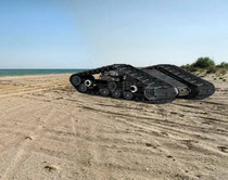
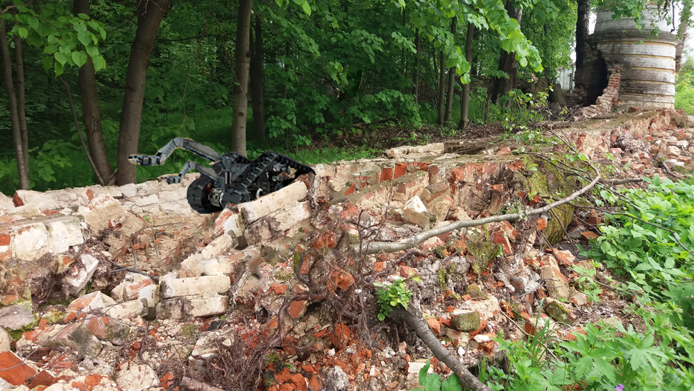
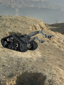
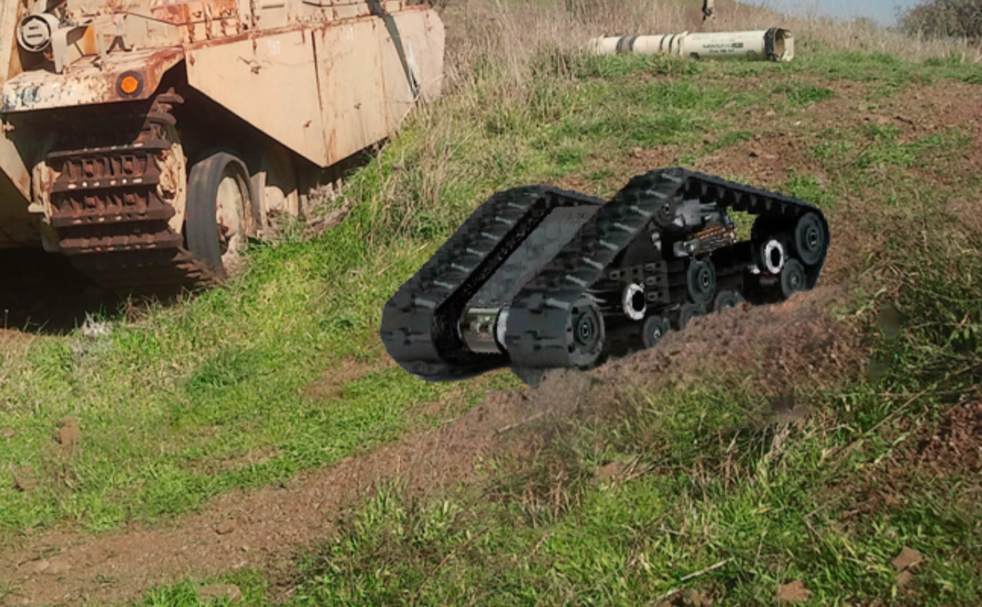
- The ability to work on different surfaces.
- The high mobility and speed of operation.
- The minimum number of staff required - 1-2 people.
- Identification and mapping of subsurface objects in "real time".
- The ease of use.